
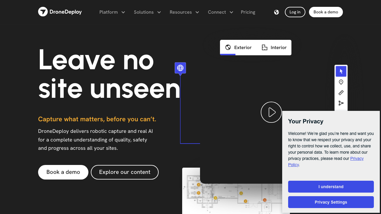
Leave nosite unseen
DroneDeploy is a leading reality capture platform designed to enhance the construction, energy, and agriculture industries by combining drone mapping, 360-degree site documentation, and AI-powered analytics. The primary purpose of DroneDeploy is to automate the capture of site data, enabling construction professionals to gain a comprehensive understanding of quality, safety, and progress across their projects. Target audiences include general contractors, subcontractors, project owners, and architects who require accurate and timely site information to make informed decisions and streamline operations. Core features of DroneDeploy include aerial and ground mapping capabilities, automated progress tracking, and advanced analytics powered by AI. The platform allows users to capture high-resolution images and data from drones, ground robots, and 360 cameras, all integrated into a single interface. Unique differentiators include its ability to provide real-time insights and automated reporting, which significantly reduces manual effort and enhances project visibility. Additionally, DroneDeploy integrates seamlessly with various construction management tools, enhancing its utility in existing workflows. Specific use cases for DroneDeploy include monitoring construction progress, validating underground utility installations, and documenting existing site conditions for pre-construction planning. By leveraging DroneDeploy, companies can achieve measurable benefits such as reduced project delays, improved accuracy in reporting, and significant cost savings through efficient resource management. The platform is particularly beneficial for large-scale projects and organizations that require consistent and reliable site documentation. DroneDeploy operates as a cloud-based platform, making it accessible from various devices, including mobile applications for on-site use. The implementation process is designed to be straightforward, allowing teams to quickly adopt the technology and integrate it into their existing workflows. With a focus on user-friendly interfaces and comprehensive support, DroneDeploy ensures that construction professionals can maximize the value of their reality capture efforts. Recognized for its innovation in the construction technology space, DroneDeploy has garnered a strong market presence with notable clients across various sectors, including ConocoPhillips, Skanska, and DPR Construction. The platform's commitment to enhancing operational efficiency and safety has positioned it as a trusted solution for organizations looking to leverage technology in their construction processes.
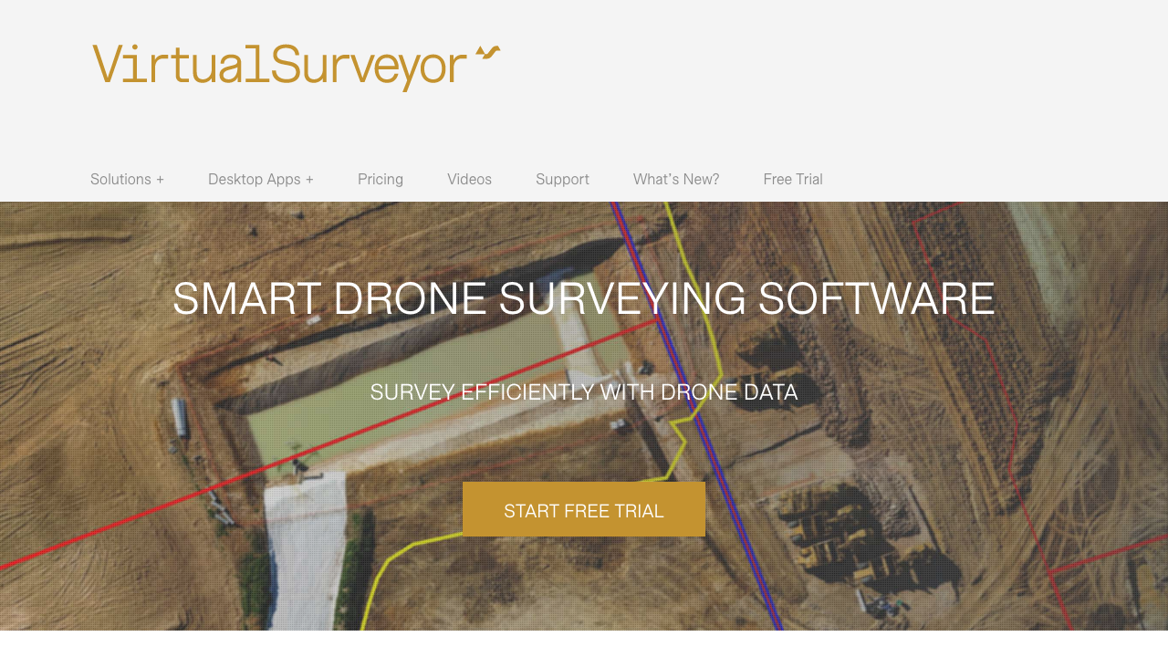
Smart Drone Surveying Software - Virtual Surveyor
Virtual Surveyor is a smart drone surveying software designed to facilitate topographic surveying, mining and quarrying, construction earthworks, and stockpile inventory management. It addresses the challenge of efficiently converting drone data into usable formats for CAD and GIS applications, enabling land surveyors to leverage their existing workflows in a virtual environment. The software is particularly beneficial for general contractors, subcontractors, and land surveyors who require accurate and efficient data processing for their projects. The core features of Virtual Surveyor include intelligent line drawing and point gridding functions, which allow users to seamlessly switch between interpreting data and performing calculations. This dual functionality enhances productivity by speeding up the creation of CAD models from drone data. Additionally, the software supports various integrations with cloud storage solutions, enabling users to access their projects from anywhere and collaborate effectively with team members. Virtual Surveyor significantly improves construction workflows by streamlining the process of creating topographic surveys and stockpile reports. Users can calculate volumes, create triangulations, and generate contours, which are essential for project planning and execution. The measurable benefits include reduced time spent on data processing, increased accuracy in survey results, and enhanced decision-making capabilities for construction projects. Companies involved in earthworks, mining, and construction can particularly benefit from the software's capabilities, as it allows for better project management and resource allocation. The software is available as a cloud-based solution, making it easily accessible and scalable for users. Its integration capabilities with popular cloud storage services like OneDrive and SharePoint further enhance its usability. The implementation of Virtual Surveyor is designed to be straightforward, allowing users to quickly adapt to the platform with minimal learning curve. Overall, Virtual Surveyor positions itself as a leading tool in the construction technology space, recognized for its innovative approach to drone data processing and surveying.
| Attribute | DroneDeploy | Virtual Surveyor |
|---|---|---|
| Category | Drones | Drones |
| Parent Company | DroneDeploy | — |
| Tagline | Leave nosite unseen | Smart Drone Surveying Software - Virtual Surveyor |
Our directory has 2+ tools in this category. Browse them all or submit your own.

